
Lake Macquarie
Builders in Lake Macquarie
Our home patch. Based at Edgeworth, working right around the lake from Cardiff and Glendale through to Toronto, Belmont and Morisset.
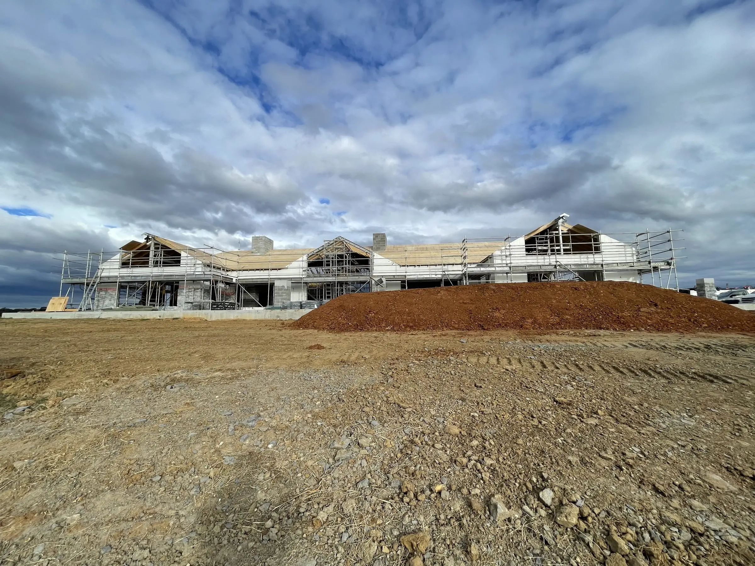
Lake Macquarie is where we live and where most of our work is. The council area is large and it wraps right around the lake, from Cardiff, Glendale and Edgeworth in the north, down the eastern side through Charlestown, Warners Bay and Belmont to the coast at Swansea and Caves Beach, and around the western shore through Toronto and Wangi Wangi to Morisset and Wyee in the south. The coastal strip from Redhead through Belmont to Catherine Hill Bay adds ocean exposure on top of everything the lake brings. Twenty-five years of building around the lake has taught us that the LGA is really several different building environments that happen to share a council, and that the quote has to be for the block in front of you, not for the average.
The housing stock varies as much as the ground does. The old mining towns on the northern and western edges, Teralba, West Wallsend and Killingworth among them, carry mine-era timber cottages. The post-war suburbs are fibro and weatherboard giving way to 1960s to 1980s brick veneer, and they make up most of what we extend. The foreshore has its original weekenders, many now permanent homes and many needing more structure than they have. The newer estates at Cameron Park, Cooranbong and around Morisset are a different job again, often with covenants, smaller lots and slab on ground construction that limits how an extension can be tied in.
Underground, coal was worked beneath a large part of the LGA and Mine Subsidence Districts cover much of it. Inside a district, Subsidence Advisory NSW has to approve the work before the building approval can be issued, and its conditions can shape footings, articulation and sometimes the size of what can be built. On top of that the soil is reactive clay across most of the inland suburbs, sand on the coastal strip and acid sulfate soil on the low foreshore land, and each wants a different footing. Slope is the other constant. The western and southern foreshores are steep enough that council applies landslip risk mapping in places, and a deck or extension on one of those lots needs geotechnical input before anyone draws a line.
The approval side is Lake Macquarie City Council under the Lake Macquarie Local Environmental Plan and Development Control Plan. Between them they set the foreshore building line on waterfront lots, the flood planning levels around the lake and its creeks, acid sulfate soil classes and heritage items, and the bushfire prone land map adds another layer along the bush edges from West Wallsend to Wyee. Where a job qualifies as complying development we generally go through a private certifier and the approval takes weeks, but any of those overlays can push it to a Development Application. We tell you which pathway you are on at the quoting stage, because the paperwork can matter as much as the build. A section 10.7 planning certificate for the lot lists which of these overlays apply, and it is the first document we ask for.
What we build in Lake Macquarie
We offer every one of our building services in Lake Macquarie.
Local conditions that affect your build
- Mine Subsidence Districts
- A large share of the LGA is inside one. Approval from Subsidence Advisory NSW is required on top of the council or certifier sign off, and it can set the footing type and the articulation the design has to carry. We confirm district status on the planning certificate for every job.
- Lake and creek flooding
- Low-lying foreshore land and the flats along the creeks feeding the lake carry flood planning levels, and council includes an allowance for future sea level on the lake. Floor levels, materials below the flood planning level and enclosed under-floor space are all controlled.
- Steep and landslip-mapped land
- The western and southern foreshores are steep, and mapped landslip areas require geotechnical investigation and engineered footings. A deck that would be a simple platform on flat ground becomes an engineered structure once the ground falls away.
- Clay, sand and acid sulfate soil
- The inland suburbs sit on clay that heaves with moisture, the coastal strip on loose sand, and low foreshore lots on acid sulfate soil that needs a management plan if disturbed. Site classification decides the footing on every block.
- Bushfire and foreshore controls
- Much of the bush edge from West Wallsend to Wyee and the hills behind the western shore is mapped as bushfire prone, so a Bushfire Attack Level assessment decides the glazing, decking and subfloor enclosure. Waterfront lots carry a foreshore building line that limits building toward the water.
Get a quote in Lake Macquarie
We are based at Edgeworth and work across Lake Macquarie every week. Free site visit, itemised written quote, no obligation.
Get Started
Planning a build in Lake Macquarie?
Tell us what you have in mind and we will come out, walk the site with you and give you an honest, itemised quote. No obligation, no pressure.